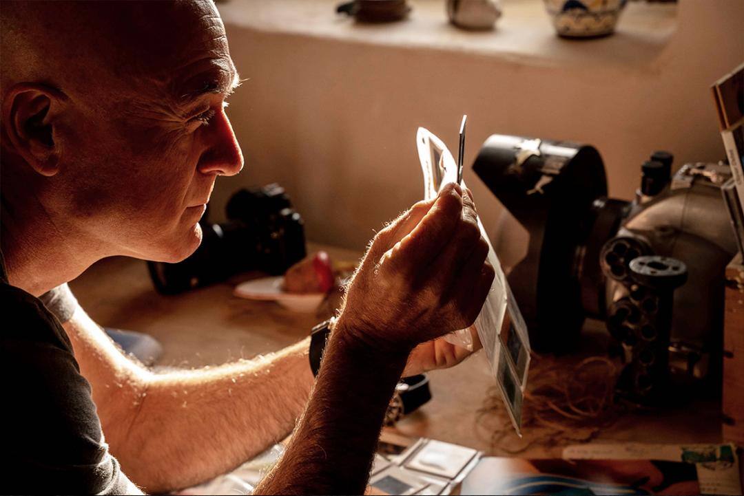
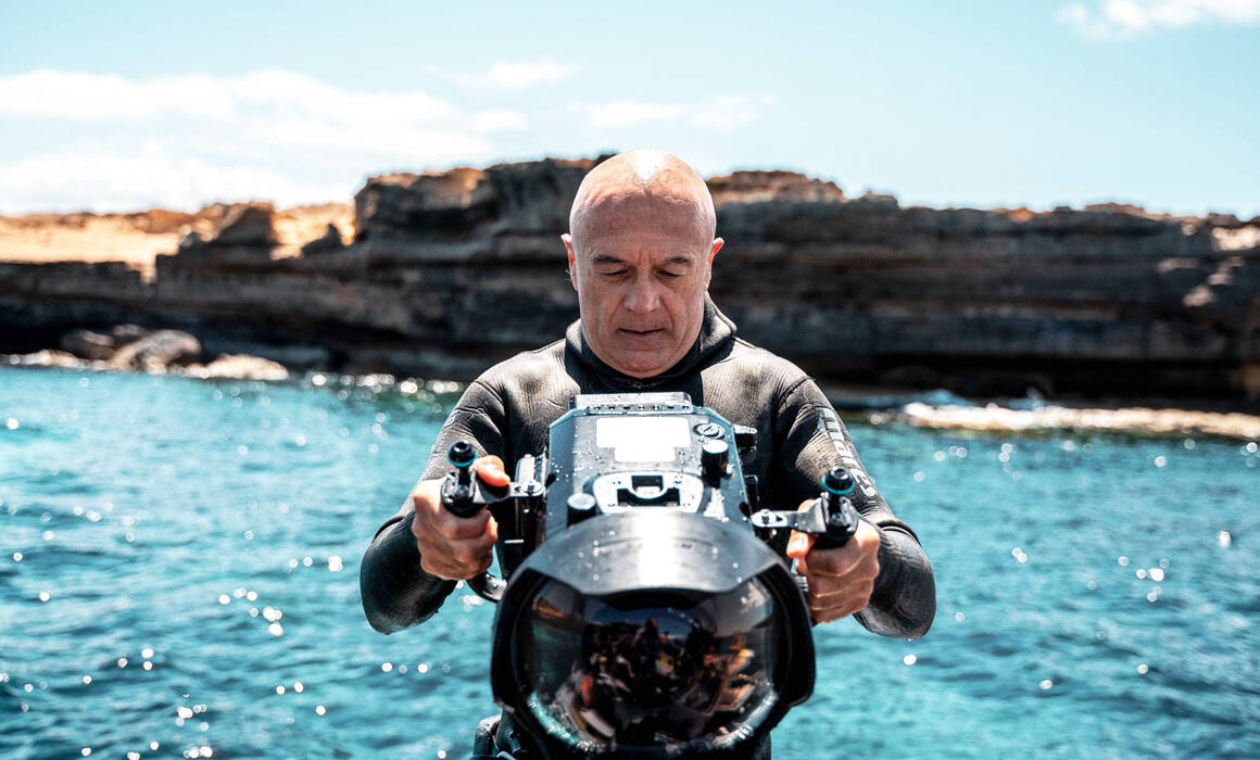
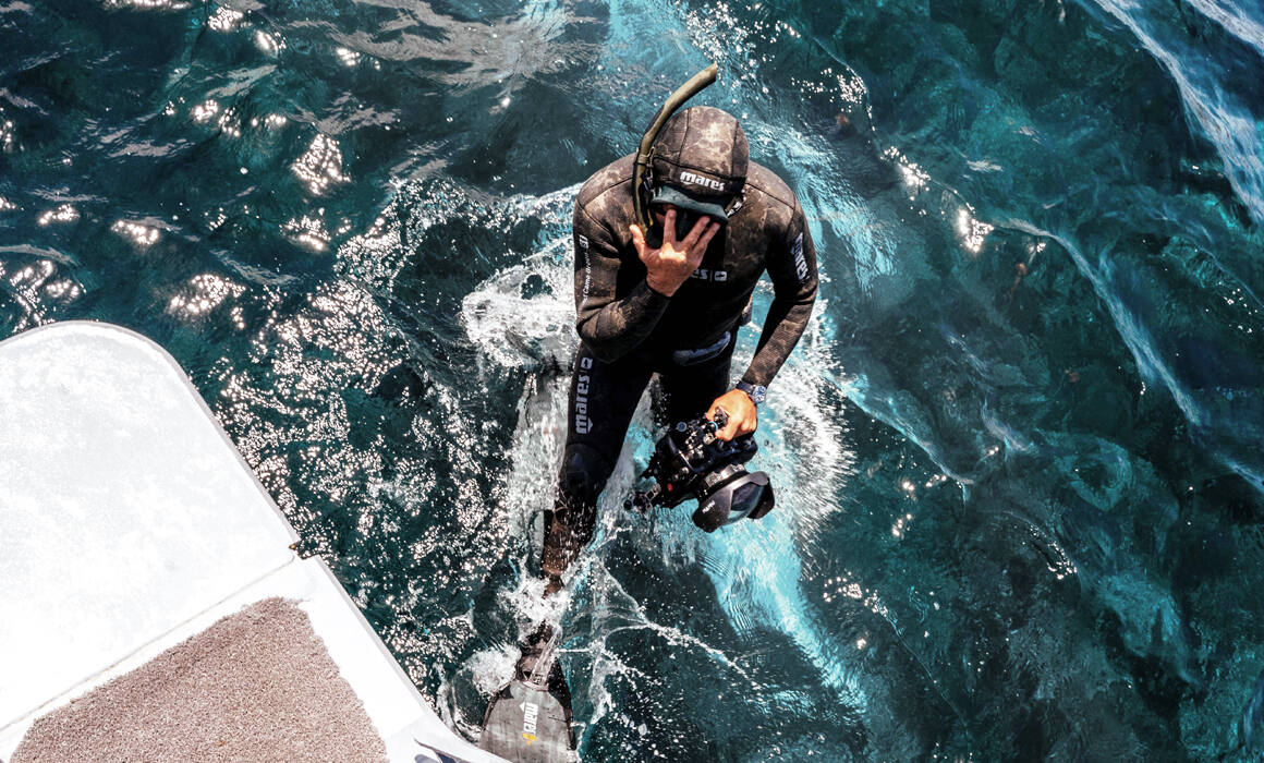
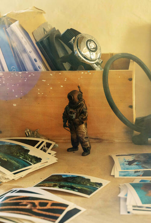
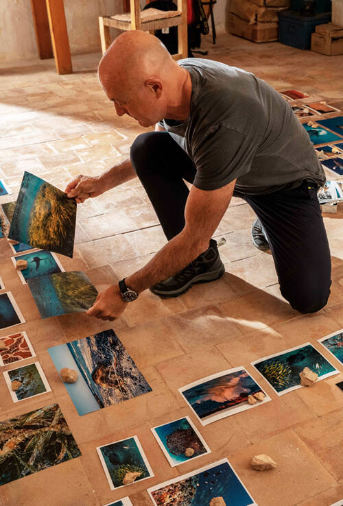
27 years ago, in October 1992, Manu San Félix took his first dive into the Mediterranean. It was in the area we now know as the Ses Salines Natural Park, between Ibiza and Formentera. From that moment on, something changed in San Félix’s life. Discovering the Posidonia oceanica so profoundly fascinated him that he voluntarily committed himself to the Mediterranean and relocated to Formentera. He currently leads the Posidonia Maps project, a pioneering initiative that aims to protect this higher plant that creates a unique landscape in the world.
Choose your country or region
- Europe
- Spain
- Catalonia
- Portugal
- United Kingdom
- International Version
A guide to loving and preserving the unique nature and culture of the Mediterranean.
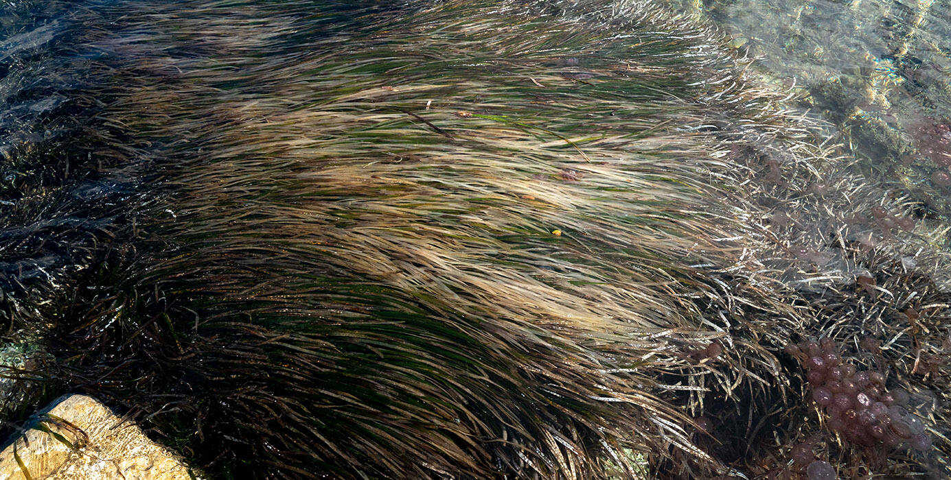
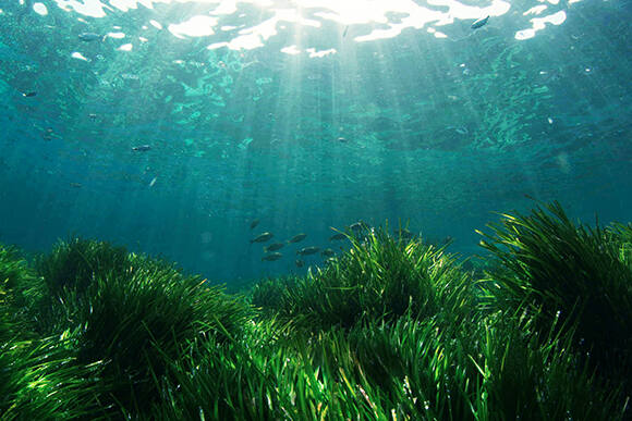
A greater plant
FORMENTERA, BALEARIC ISLANDS
A CRITICAL SITUATION
“If we lose the Posidonia, the coasts in places like the Balearic Islands will never be the same again.”
Manu San Félix, National Geographic explorer
ENGINEER SPECIES
The Posidonia meadows can create large reefs of up to 8 metres in height that curb the swells, protect the coast and facilitate the sedimentation of the sand. Manu San Félix is very clear about the situation, “This species triggers an ecological process, both inside and outside of the sea, which defines the Mediterranean habitat and ecosystem as we know it today.” For this reason, it was classified as an engineer species and listed as World Heritage Site by UNESCO in 1999.
A RESERVE WITH RICH BIODIVERSITY
The Posidonia meadows are home to a host of living organisms and are a useful indicator of current environmental quality. This species absorbs very large quantities of carbon, oxygenates the marine ecosystem and provides an essential contribution to the cleansing and purity of our waters. In San Félix’s words, “The near-transparent turquoise water that can be found in some areas of the Mediterranean owes its clarity to the Posidonia oceanica.”
AN APP TO SAVE A SPECIES
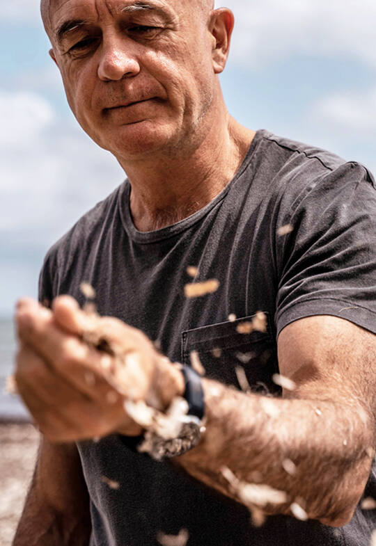
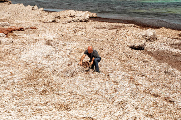
In recent years, we have lost 30% of the Mediterranean’s Posidonia coverage due to the discharge of lightly purified or totally untreated water, large coastal building projects and the anchoring of boats in areas under high pressure from tourism, such as Formentera. Recently, the boom in marine tourism and the mechanical force of anchors have caused Posidonia meadow losses of up to 44% in areas like the island of Espalmador. As a result, the Posidonia Maps mobile app makes the necessary information available to all seafarers so they can check whether or not they are above Posidonia before dropping anchor near the island of Formentera. Manu believes the challenge is continuing to grow: "We will be incorporating information from Mallorca and also some of Ibiza’s beaches and bays very soon."
TEAMWORK
Posidonia Maps is a collaborative app which allows any user to send reports regarding poorly anchored boats, injured turtles, spills or sailing dangers such as floating logs. It has already been downloaded by over a thousand users, and although the goal is to continue growing, the real challenge is raising awareness among sailors of the importance of protecting the Posidonia by using the app before dropping anchor. San Félix is well aware of this, “We still have time to restore and save the Posidonia, but society as a whole must get involved. Because even though we are moving in the right direction, we still have a lot of work to do.”
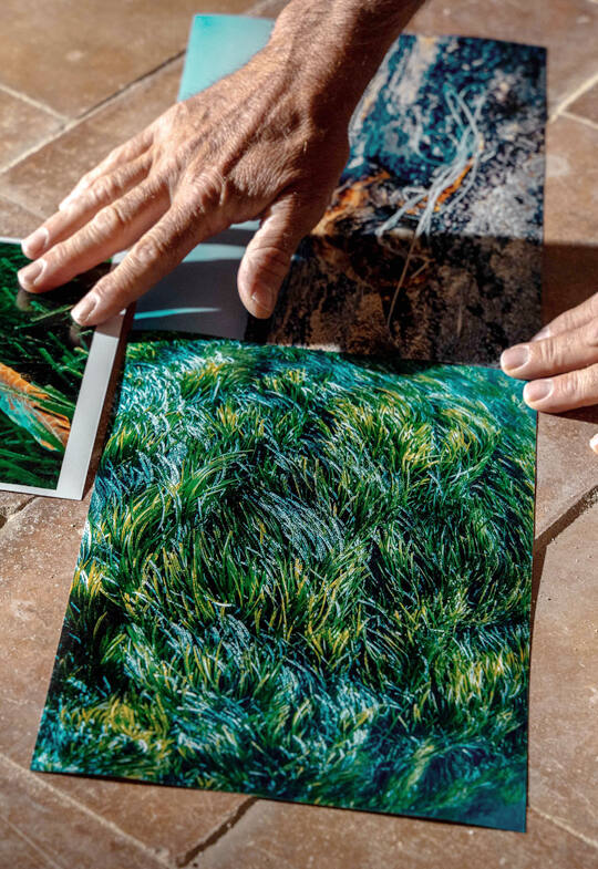
Discover the project first-hand
You may also like
Create your own route
Select 5 spots from your favourites, or the ones that we propose, and use them to create your own route for enjoying the Mediterranean. You can save and share it at any time.